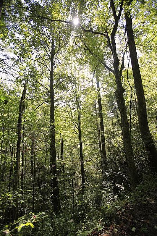
Group campgrounds offer the best in NC camping and are located in Pisgah National Forest. We’re very close to Brevard, NC, the Blue Ridge Parkway and Davidson River.
Cove Creek, White Pines and Kuykendall are spacious, beautiful facilities great for large groups and include numerous opportunities for hiking, biking, fishing or just enjoying the great outdoors. Group campgrounds are only a few hours from Charlotte and Atlanta and less than an hour from Asheville, NC. Bring your friends and make the most of your weekend!
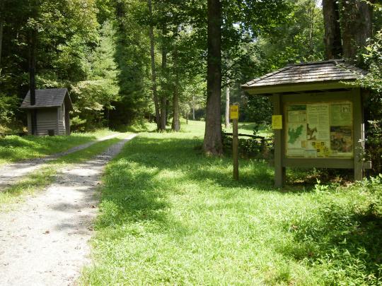
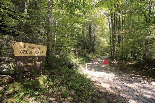
Kuykendall Group Campsite Info
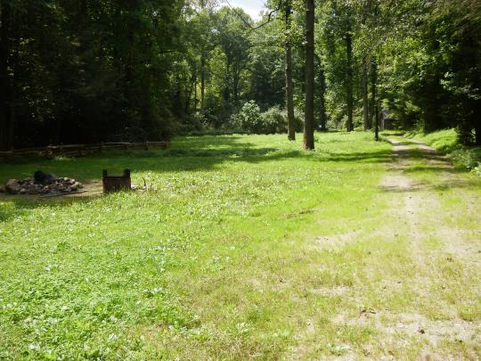
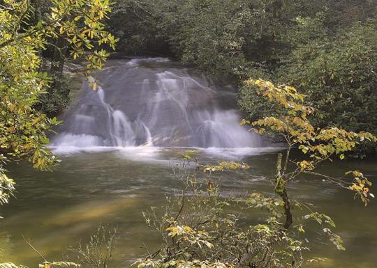
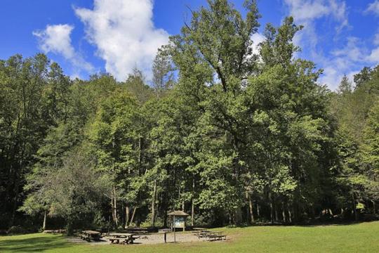
Kuykendall Group Camp is just 4 miles from the town of Brevard and about an hour from the city of Asheville. The site is located in the Appalachian Mountains at an elevation of 2,600 feet. The surrounding national forest boasts mile-high peaks, cascading waterfalls and slopes thickly forested with hardwoods. The group camping area is adjacent to Kuykendall Creek.
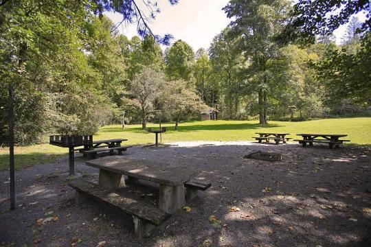
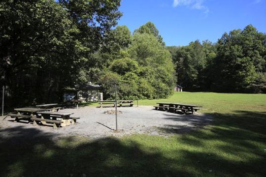
Shaded camping area for tents and RVs
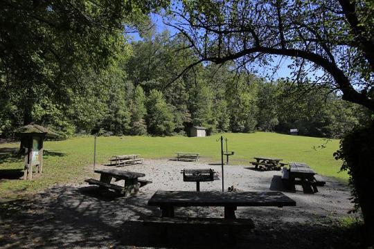
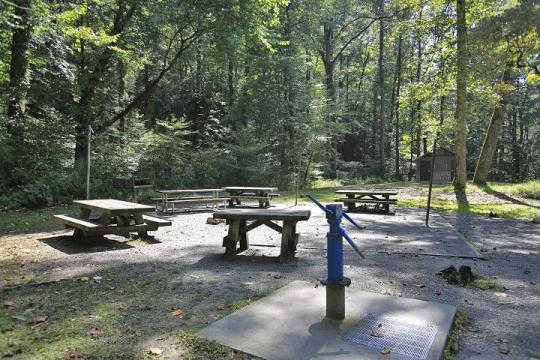
Picnic tables, campfire rings with grills and lantern posts
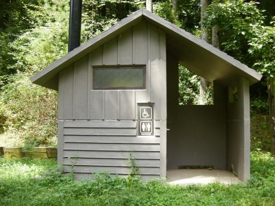
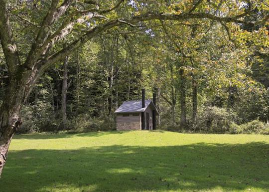
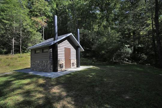
Vault toilets
Pack-it-in/pack-it-out facility
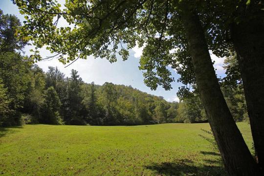
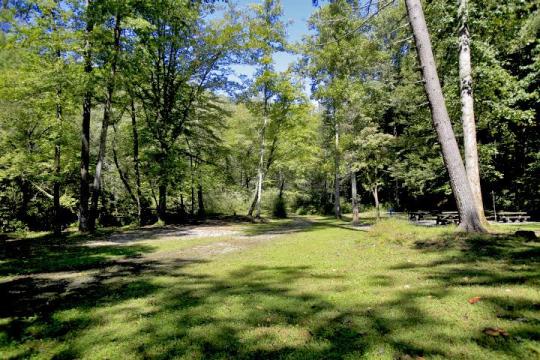
Spacious, open fields surrounded by forest
Campsite Occupancy: The site typically holds 60 people.
Kuykendall Campsite Fee: $120 per day
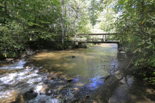
Please Note: Vehicles must cross a creek to enter both Cove Creek and Kuykendall camping areas. Waters will rise during heavy rains!
How to Get There:
GPS Info. (Latitude, Longitude):
35.22, -82.77833
35°13'12"N, 82°46'42"W
From Asheville, take State Highway 280 south to Brevard. At the junction of U.S. Highway 276/64/280, follow Highway 64 west through Brevard to Cathy's Creek Road/Forest Road 471. Take a right and go 1.25 miles to campground entrance.
Due to rocky and uneven conditions of the stream bed, this crossing is only passable by high-clearance vehicles. Even during periods of low water, this crossing is not appropriate for low-clearance vehicles.
Assistance is not readily available or guaranteed should your vehicle get stuck — you cross the creek at your own risk.
Cove Creek Upper and Lower Campsites Info
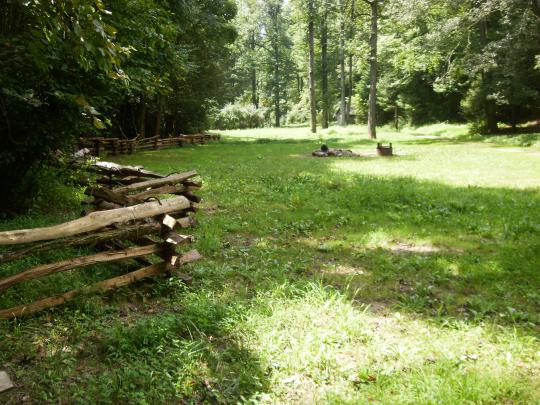
Cove Creek Upper and Lower Campsites are nestled along Cove Creek in the lush forests of the Appalachian Mountains. The facility can accommodate large groups of up to 60 people and offers year-round opportunities for hiking, mountain biking, fishing and picnicking in one of the most scenic areas in the state.
Shaded camping area for tents and RVs
Picnic tables, campfire rings with grills
Vault toilets
Pack-it-in/pack-it-out facility
Spacious, open fields surrounded by forest
Campsite Occupancy: The site typically holds 60 people.
Cove Creek Upper and Lower Campsites: $120 per day per campsite
Please Note: Vehicles must cross a creek to enter both Cove Creek and Kuykendall camping areas. Waters will rise during heavy rains!
How to Get There:
GPS Info. (Latitude, Longitude):
35.29972, -82.81639
35°17'59"N, 82°48'59"W
From the Asheville airport, take Highway 280 west to the U.S. Highway 64/280/276 intersection at Pisgah National Forest. Turn north onto U.S. Highway 276. Go 4.5 miles to Forest Road 475A and turn left. Travel on 475A for 3 miles to the campground on the right.
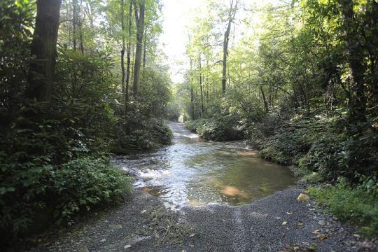

Due to rocky and uneven conditions of the stream bed, this crossing is only passable by high-clearance vehicles. Even during periods of low water, this crossing is not appropriate for low-clearance vehicles.
Assistance is not readily available or guaranteed should your vehicle get stuck — you cross the creek at your own risk.
White Pine South Group Campsite Info
White Pine South Group Camp is nestled along Avery Creek in the lush forests of the Appalachian Mountains. The facility provides tent camping year-round and can accommodate families, scout troops and other groups of up to 25 people.
This is a walk-in, tent-only facility; parking lot is provided
Picnic tables, campfire rings with grills, and lantern posts
Vault toilets
Pack-it-in/pack-it-out facility
Campsite Occupancy: 25 people
White Pines South Campsite: $55 per day
How to Get There:
GPS Info. (Latitude, Longitude):
35.29194, -82.73861
35°17'31"N, 82°44'19"W
From the Asheville airport, take Highway 280 south to Brevard. Turn right on U.S. Highway 276. Go 1.75 miles to Forest Road 477 and turn right. Go 0.75-mile to the parking area on the right side of the road. Walk across the bridge to the campground entrance road.
Wash Creek Horse Camp
Wash Creek Horse Camp is a small group area designed for equestrian use located two miles northeast of the North Mills River Recreation Area and Bent Creek of the Pisgah Ranger District. Wash Creek offers a remote hardwood forest setting with a small, shallow stream nearby.
As part of the Pisgah National Forest, a network of equestrian trails are available in the North Mills River, Trace Ridge and Wash Creek areas and are easily accessible with space for several horse trailers. Hiking, fishing and hunting are popular activities in the area. Some of these trails are shared by mountain bikers. Routes are marked with signs and colored blazes.
Campfire rings, and hitching posts for horses
Vault toilets
Pack-it-in/pack-it-out facility
Campsite Occupancy: The site typically holds 25 people.
Wash Creek Campsite Fee: $40 per day
How to Get There:
GPS Info. (Latitude, Longitude):
35.42611, -82.66556
35°25'34"N, 82°39'56"W
From exit 40 on Interstate 26 take travel west on Hwy 280 (passing the Asheville Airport and going towards Brevard). Go six miles to light and turn right on North Mills River Road. Go six miles and just before entering the North Mills River Campground, turn right on Forest Service (gravel) Road #5000. Proceed two miles to site on right.